|
|
Aerial photos: Gloucestershire (DSCN0833)
|
|
|
|
|
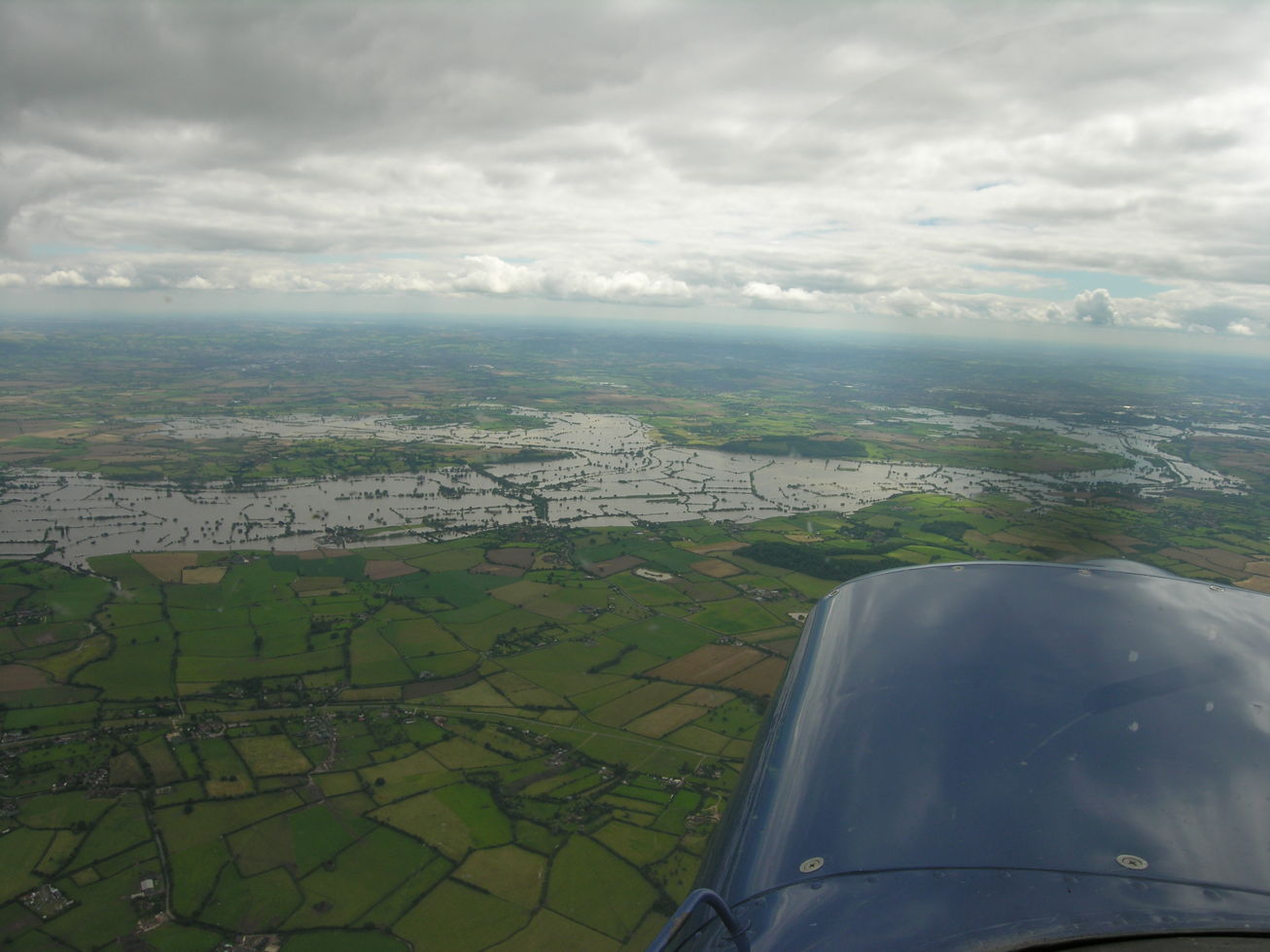
DSCN0833
2007-07-24: Nikon Coolpix 8400; Cessna 152 G-BFEK
Gloucestershire floods 2007. Looking ahead (southeast) towards Cheltenham and Gloucester with the Severn running across the centre of the picture. The flooded area beyond the Severn left of centre is around the disused Coombe Hill Canal. A patch of trees to the right of that is Wainlode Hill. Tirley is slightly left of centre on the near side of the flooded Severn, with a line of trees beyond it through the flood marking the B4213 road across Haw Bridge. Corse Lawn is at lower left.
If you can add to the information here, please let me know.
|
|
|
next picture page |
| Return to Rowland's home page |
| This page last updated 2021-06-07 14:04. I try to make this page as accessible as possible, by adhering to HTML 4 standards. |
|
|
| I welcome comments on this website. However, because of the amount of spam it attracts, I no longer post a direct e-mail address on any page. Instead, please click here to contact me. You will have to confirm that you are human before the message will be sent on to me. | ||